In about two years of hunting for documents and sharing them with the world via this website, I have come across a small handful that I just wasn’t sure what to do with. These documents seem to have some historical significance but are only a piece to a puzzle – and the other pieces are missing. The below memo is a good example of this.
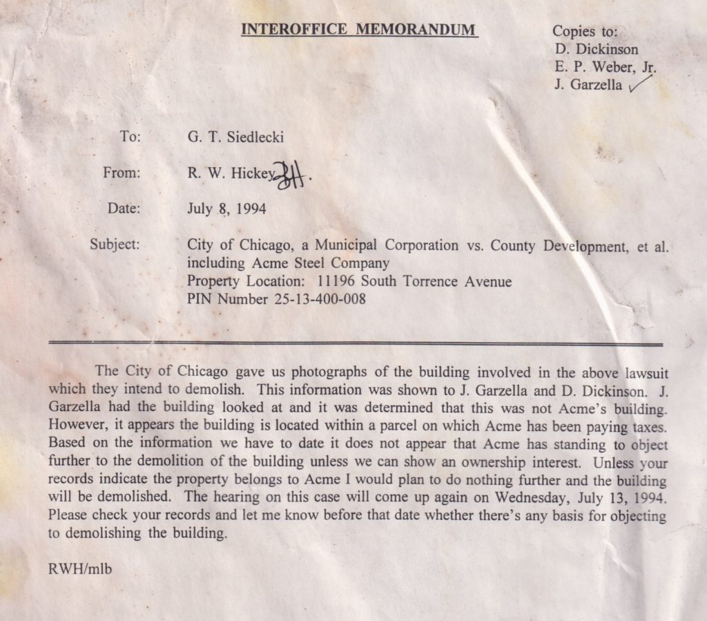
I found this memo to be very interesting. It refers to a mysterious property north of the coke plant, and a structure there which the city would like to tear down. I can only guess that the city found it to be a derelict structure, perhaps dangerous, so they want to demo it but of course they do not intend to foot the bill for such work! But this PIN number is for the northern parcel of the coke plant itself – not 11196.
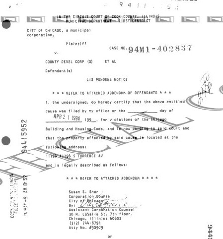
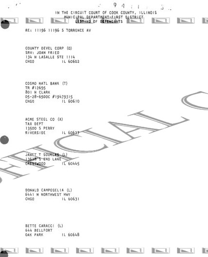
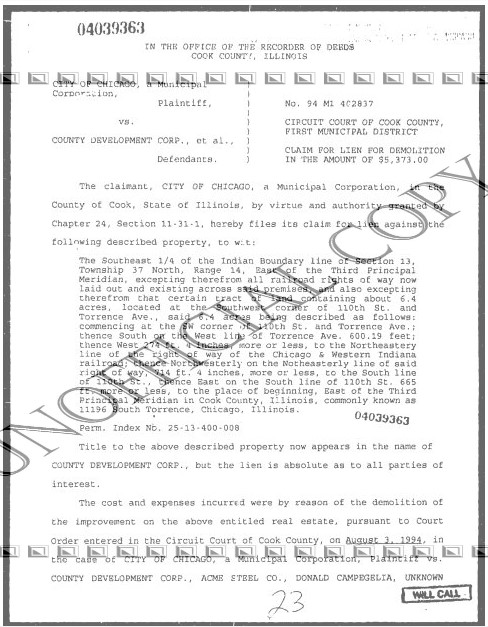
A visit to the Cook County clerk’s website reveals some very interesting documents. We start with a lis pendens (a formal notice of pending legal action) from April 1994. It lists the defendant as ‘County Development Corp’. Who is this? But without explanation, the second page of the document lists what seems to be a number of other parties to the lawsuit. Acme is listed along with three individuals: Janet Souklas, Bette Caracci and Donald Campeglia. Almost zero Google results for any of them. Very mysterious.
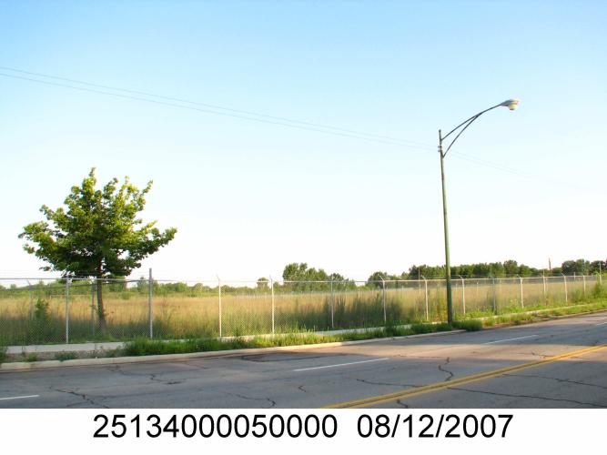
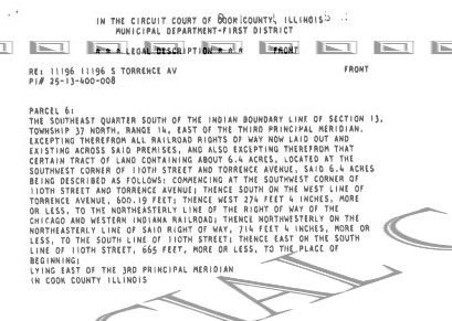
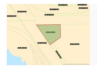
Most interesting is the careful description of the boundaries of the property. So onto Google Maps we go!
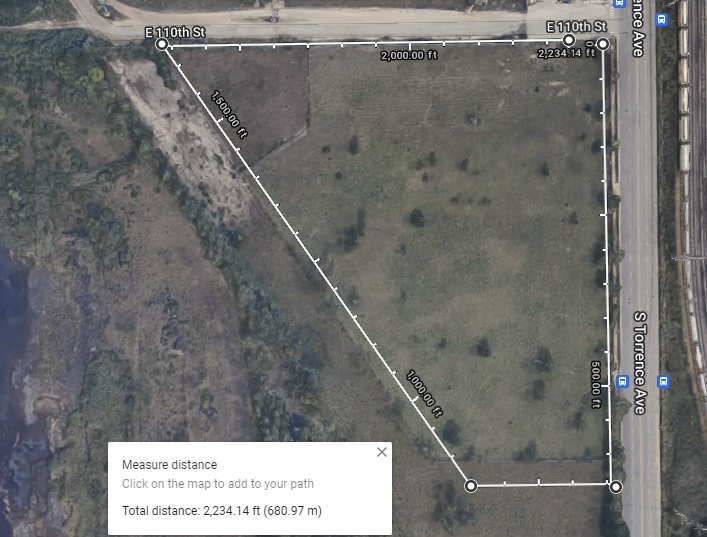
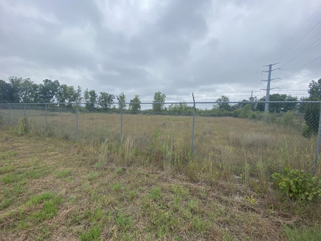
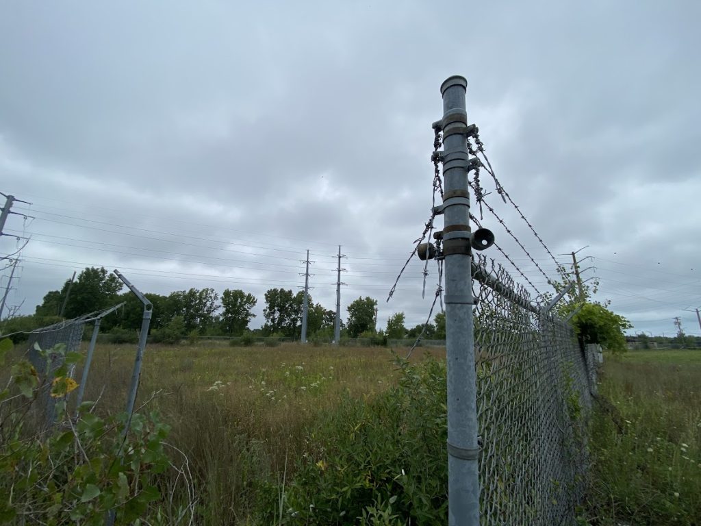
I used the measuring tool on Google Maps before I realized that you could fairly well see the boundaries naturally. The Chicago and Western Indiana RR is long gone (this is also the northern boundary for 11236) but the demarcation is still visible.
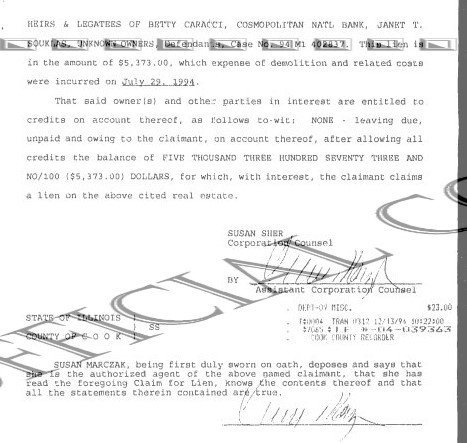
The next document is the lien after the demo has been completed. It is dated (sorry, I cropped this off the second page) sometime in September (it is difficult to read the date). Note that it states the demolition occurred on 7/29/94, and the internal memo at Acme from 7/8/94 states that they are planning on demolishing it soon.
But up to this point, all documents use the (incorrect) PIN for 11236. But we can quickly search and find the CORRECT pin.
[NOTE: the northwestern corner is this parcel is separate per the data sheet below, even though it is defined as going all the way to 110th St on the description above. Even in the satellite view above, you can see the discoloration for this parcel.]
Now that we have the correct/current PIN for 11196, we can dig even deeper! Who is the current owner of this parcel?
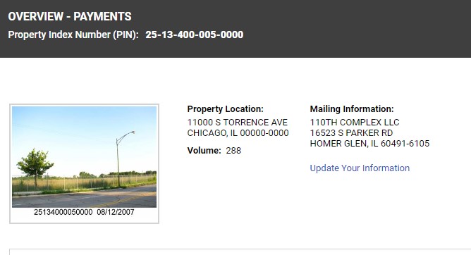
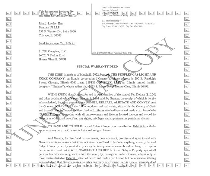
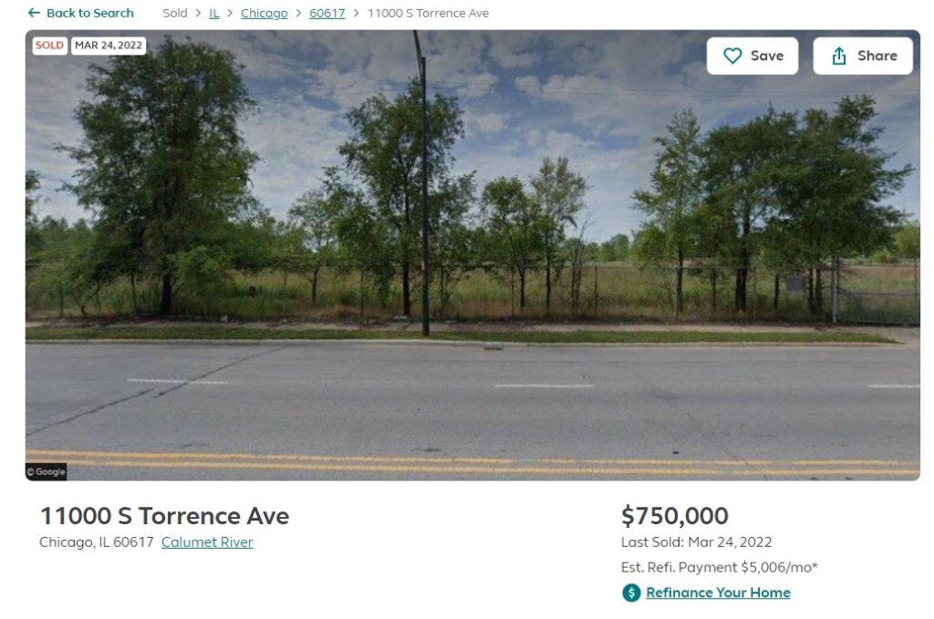
Note that what was referred to as 11196 is considered 11000 currently. The vaguely named LLC above, headquartered in Homer Glen is what can only be called a mansion. Since I do have some (very little) sensitivity to privacy I will not post the street view here, though I was tempted. But from whom did they purchase the land? Let’s rewind the clock. The oldest document showing a transfer of deed is from 6/27/2000. It is transfering the deed for the exorbitant price of $10 from Air Liquide to People’s Gas Light and Coke Company.
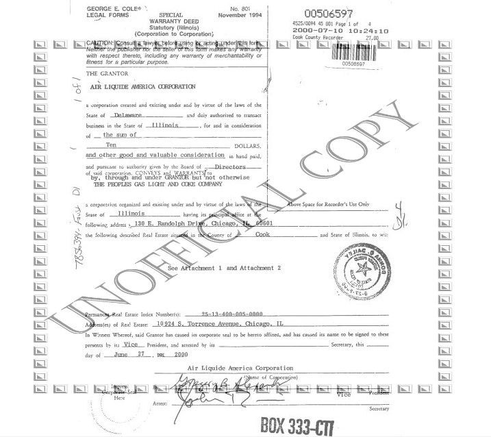
Air Liquide is a multinational industrial gas company, how or when they came to own the parcel and for what use no one will know. We do know that they never developed it as there is nothing there now.
People’s Gas Light and Coke Company still exists today as People’s Gas, the are the provider of natural gas to the city of Chicago.
And only a few months ago in March 2022, People’s Gas sold the land to this shell company, 110th Complex LLC.
I suppose this is all real estate speculation – if you purchase it and hold it, one day you may be able to sell it for more. I wouldn’t think that utility companies would be interested in such endeavors, and it is not lost on me that two different gas companies had interest in the land.
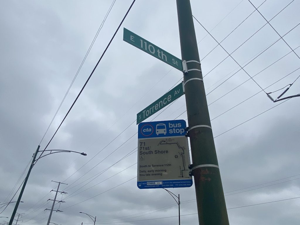
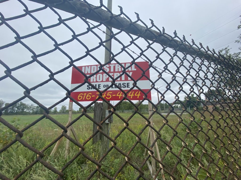
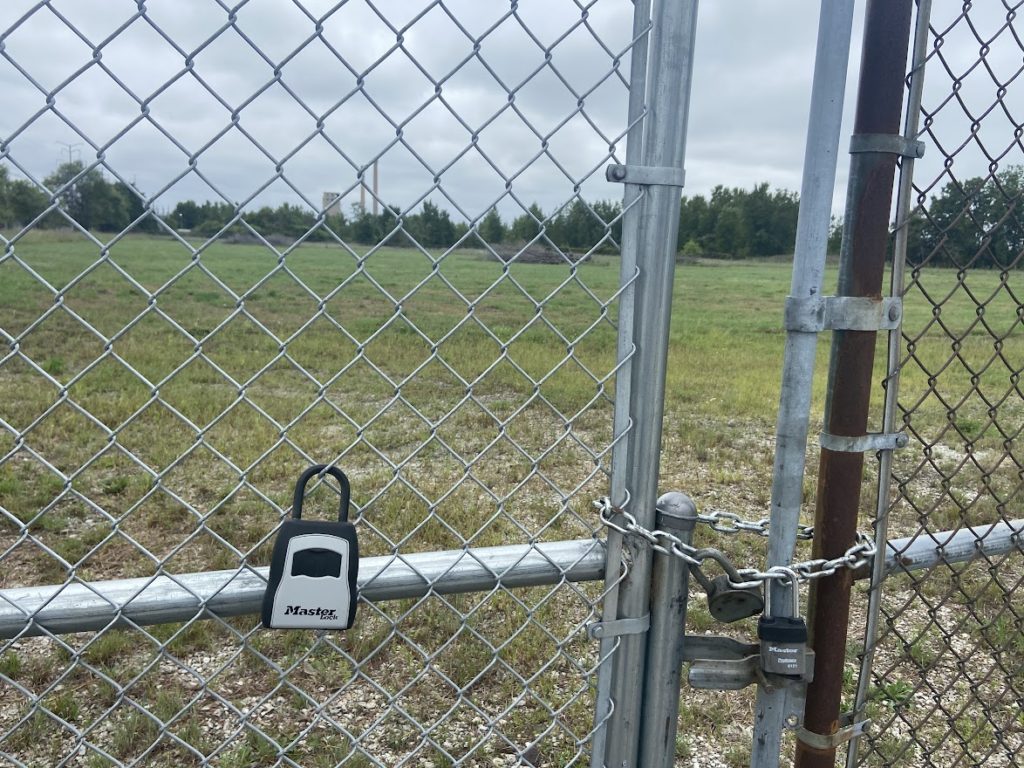
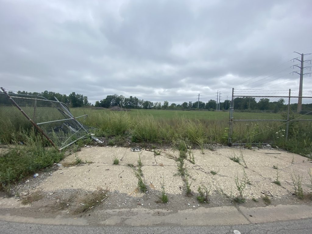
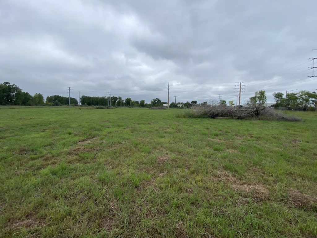
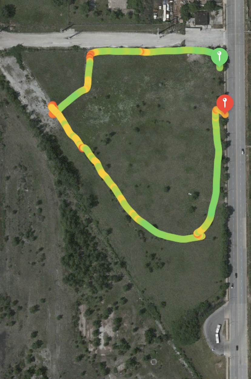
The thing I wonder about, is if 110th Complex LLC was willing to pay three quarters of a million dollars for this property, wouldn’t they also want the corner part (11028 S. Torrence)? Of course, you cannot buy what is not for sale. But I still wanted answers, so to learn more, I knew it was time to take a trip down to the plant.
I acknowledge that all this research leaves more questions than answers. Like the coke plant itself, it will remain an enigma to behold, and even admire.